OLHZN-9 was the ninth high altitude weather balloon flight for Overlook Horizon High Altitude Balloons. This flight occurred on August 21, 2017 at exactly 1:10:00pm ET (17:10 UTC) during the total solar eclipse in the United States. The focus of this flight was to capture video footage of the solar eclipse shadows as well as to solidify our radio tracking systems to ensure that our repairs we made on OLHZN-8 are still working well. We were measuring temperature on this flight and looking specifically at temperature deviations that may have been measurable as the eclipse is occurring, however, our primary flight computer experienced major issues just 31 minutes into the flight and was unable to record further temperatures. This flight again used three Lightdow LD4000 Cameras including one upwards facing camera recording the balloon and possibly the solar eclipse. However, this upwards facing camera intentionally did not use a solar filter so there was no meaningful video footage of the actual eclipse itself, which was expected as a possible outcome and one that we’re fine with since the main purpose was to film the ground during the eclipse and not the eclipse itself.
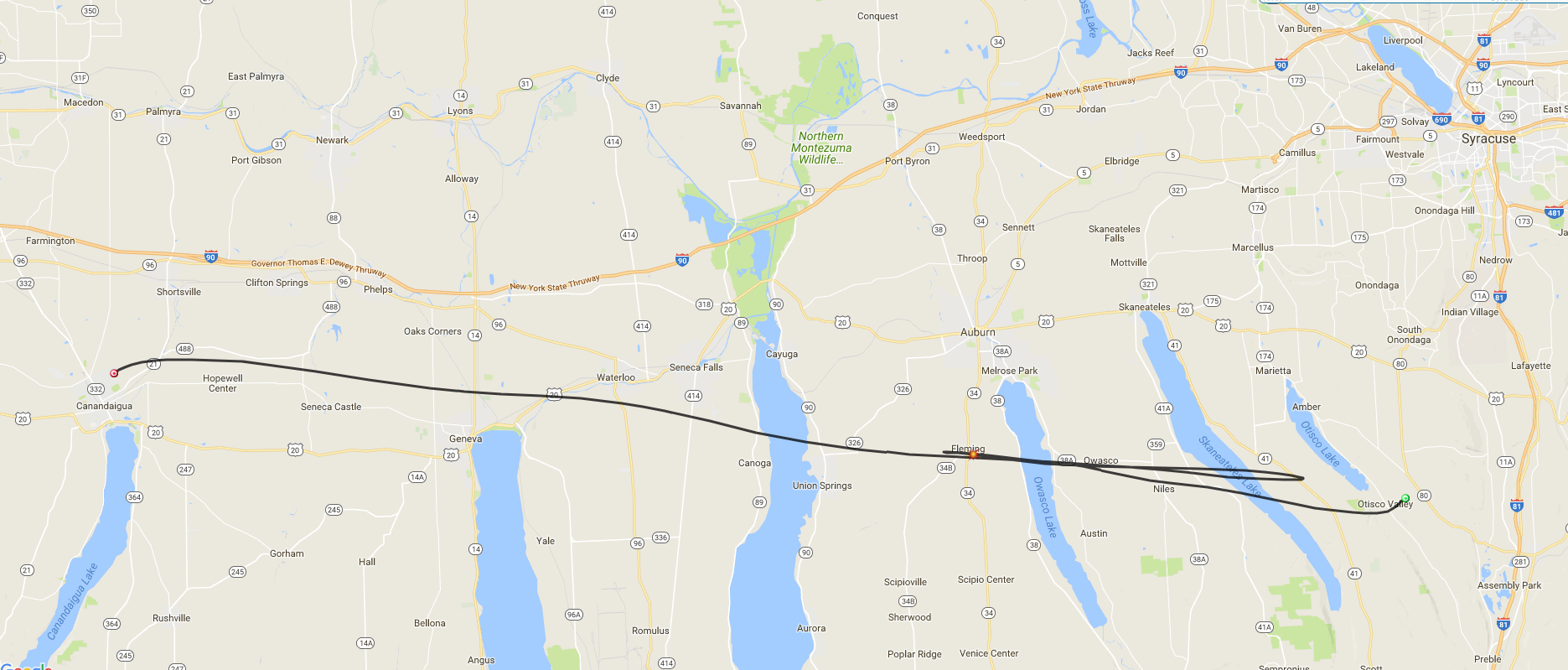
The launch location for this flight was constantly changing for this flight up until just 16 hours prior to launch. This is quite unusual for us, but this flight planning was backwards from our normal procedures. Usually, we have a location in mind and we wait to choose an appropriate date and time that will ensure a safe and acceptable landing zone. This flight, however, coincided with the solar eclipse happening on August 21st, so the date and time were fixed, but we had to still ensure a safe landing zone. In order to accomplish this, we were forced to constantly adjust and evaluate our launch location every 6 hours as new GFS prediction models were published to determine a launch location that would lead us to a safe and acceptable landing zone. We would have liked to avoid the swamp we landed in, but due to the eclipse, our “acceptable” parameters were very wide for this flight.
Flight Day Story
Flight day for this flight was very exciting given that it was scheduled to coincide with the solar eclipse and the media attention that we received leading up to flight day. Setup started very early for this flight to ensure everything was operating and we got a great local turnout to come watch the launch and the eclipse with us. In attendance were numerous spectators of all ages as well as our friends from WROC News 8 Rochester, WHEC News 10 NBC Rochester, Spectrum News Rochester and Messenger Post Newspaper Canandaigua.
The launch itself occurred perfectly on time with absolutely zero ground issues prior to launch. This was the third on-time launch for us and the first flawless launch operation we’ve achieved that had zero issues. Both OLHZN-7 and OLHZN-8 achieved our first two on-time launches, but both had minor issues during launch operations that were quickly resolved and did not delay the launch time. This launch was fantastic. It was on time with no issues leading up to launch. Once in the air, it was a different story. This flight proceeded perfectly for 31 minutes after launch at which point we began losing positioning transmissions. Both our primary and newly acquired secondary flight computers stopped transmitting at the same time, which is strange. Over the course of the flight, the secondary transmitter did indeed report its position a few times, but the reports were very spaced out with large time gaps in between reports. It was quickly discovered that the primary flight computer had seized up mid-flight and had its transmit channel stuck on open. This would be similar to someone using a walkie-talkie and just holding down the microphone button. The secondary transmitter did proceed operating normally, but with the primary flight computer’s transmit channel open, it was broadcasting static and drowning out the proper positioning transmissions from the backup computer. In hindsight, having the two transmitters on separate frequencies would have been a better way to avoid this issue.
Fortunately our trusty third cellular backup system with our custom FCC-compliant Android tracking system worked flawlessly again and saved us! Upon landing, the cellular systems properly disabled airplane mode and reported its position to us which was located in a swamp area in Assembly Park, NY. This was quite a bit further to the southeast than we expected and missed the center of our predicted landing zone by 6.06 miles. This is just 1.06 miles outside of our “normal” margin of error of 5 miles that we expect regularly, but well within the 15 mile margin of error that we plan for when coordinating with the FAA.
Upon arriving, we realized quickly that it would be a tough recovery as the water surrounding the area was too deep to talk through and too shallow to paddle a kayak through. In retrospect, a pair of chest waders (which we did not have) would have come in handy here! We comically made our way through the swamp (see video) and were able to locate the payload resting about 25 ft. up in a tree, caught by the parachute on upper branches. We were able to quickly get it down, however, the parachute and secondary flight computer were lost in this process. The primary payload, flight computer and cameras were all recovered.
All three cameras operated normally during the flight, however, they are designed to record over old footage if the SD card runs out of space. In the past, the camera batteries have always died before we reached this stage, however, on this flight the camera batteries lasted longer and began overwriting some of the earlier footage. One side camera is missing the first 9 minutes of the flight, the second side camera is missing the first 69 minutes of the flight and the upwards facing camera is missing the first 50 minutes of the flight. Larger SD cards would solve this issue for next time.
Upon evaluating the camera footage, we achieved great imagery that was less than we were hoping for, but about what we expected would happen. The upwards facing camera (without a solar filter) captured the balloon ascent and the sun was in view of the camera, however, without a solar filter the brightness of the sun was too overpowering to capture much detail of the eclipse happening. The two side cameras, though, captured the shadows on the ground which is very interesting to see. The shadow is enormous so you can’t see the edges, but the video becomes noticeable darker during the eclipse and lighter again at the end. We’re working on stitching this to a shortened time lapse video so you can quickly see the difference.
In total, we’d call this a partial success and a very memorable flight. It’s too bad we can’t try another eclipse flight right away, but our next opportunity to try again will be another partial eclipse on June 10, 2021. In any case, though, it was a lot of fun preparing and showing our new friends and fans what our science and technology is capable of! Looking forward to our next flight and trying another eclipse flight in 2021.
Mission Details
Important Info
Live Broadcast
Local Solar Eclipse View
How to make a solar viewer
Videos
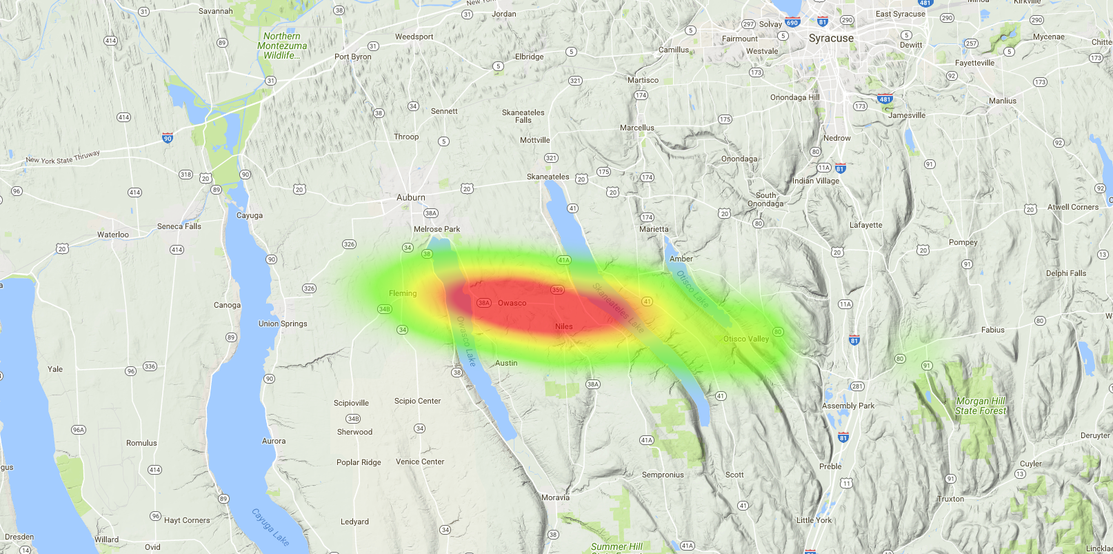
Flight Prediction
In the News
Technical Specifications
Buy a Shirt & Keep Us Flying!