Result: Flight Recovered!! Partial success.
OLHZN-4 was the fourth high-altitude weather balloon flight for Overlook Horizon High Altitude Balloons. This flight featured our first onboard astronaut in front of one of the flight cameras. We named our astronaut and this flight “Butchy” in honor of our friend, Oliver “Butch” Mousseaux, who tragically passed away earlier this spring after a head injury he sustained while officiating an ice hockey game.
This flight was launched on August 20, 2016, at 6:00 pm EDT (22:00 UTC). The goal of this flight was to ensure full radio tracking capabilities for the entire flight. Unfortunately, similar to OLHZN-3, we received no radio tracking once the balloon was launched. For this flight, we simplified some of the software code and added some safeguards to try to eliminate possible erroneous calculations. We were also able to identify that some of the Arduino Mega boards we purchased were actually counterfeit boards and not genuine Arduino boards, of which we were unaware. The counterfeit boards were replaced with a genuine Arduino Mega to ensure quality results. We tested the boards extensively and could not replicate the issue on the ground prior to the flight, but we still had no radio tracking throughout the flight. Additionally, our backup tracking device did operate once it landed; however, it did not have a strong enough GPS signal to report an accurate position. The backup tracker indicated its position with a degree of accuracy of +/- 50 miles, which left a huge zone of uncertainty. The backup tracker was actively reporting its position for hours after landing, but it was just not accurate enough for us to locate it. We established two-way communication with the backup tracker around 11:30 pm EDT. We instructed the backup tracker to go into a power-save mode to try to prolong the battery life of the tracker, which would hopefully result in a different result for location accuracy at some point.
After breaking for the night, we woke up on Sunday morning to find that the backup tracker was reporting an accurate position with an accuracy of +/- 2 feet! We arrived at the landing site around 8:00 am EDT (12:00 UTC) and recovered the payload. One camera had the entire flight saved as it, fortunately, ran out of battery around 4:00 am EDT. The second camera’s battery lasted longer (until about 6:00 am EDT) and eventually filled the entire camera storage card. The camera mode we (intentionally) use causes the camera to start overwriting older videos once this occurs, so the beginning of the flight was lost on this camera. We were able to recover the last 55 minutes (38%) of the flight, though. Sadly, the main tracking unit’s data was not saved. It appears that the tracking unit power cycled a few times during the flight and ultimately did not record much data. We will review to determine more about this soon to try to correct these issues for the next flight.
UPDATE: We were able to replicate some issues on the ground post-fight with the cameras interfering with the GPS signal when they are in close proximity to the tracking unit. We’ve now identified that electromagnetic interference from the flight cameras was indeed the cause of the issue.
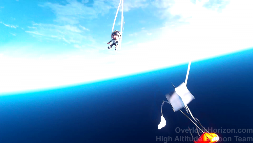
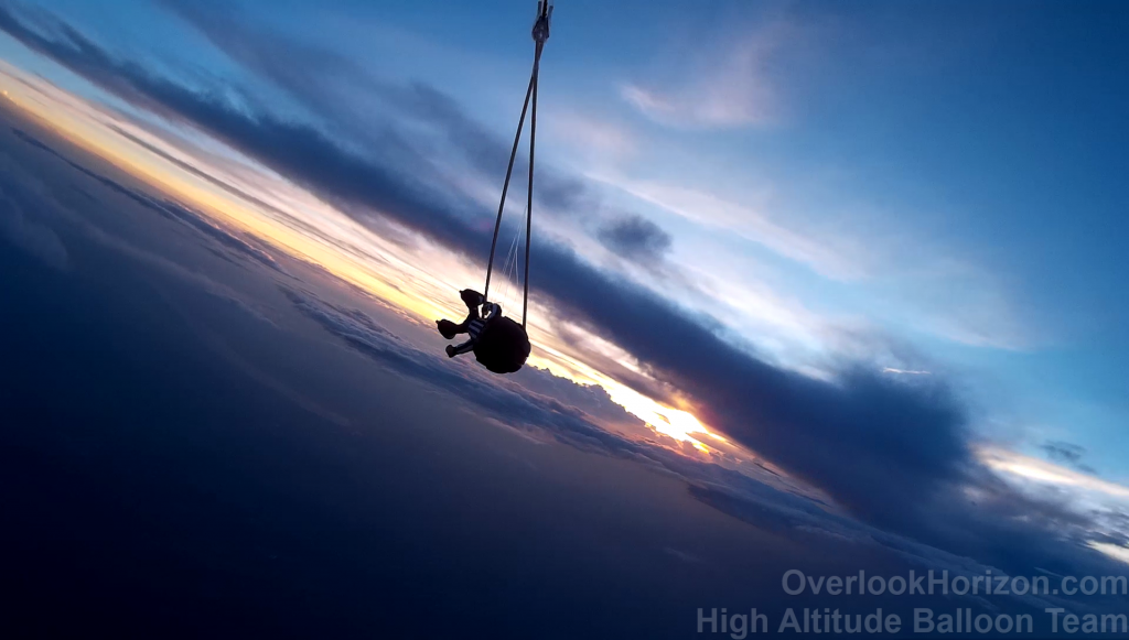
Flight Videos
Flight Photos

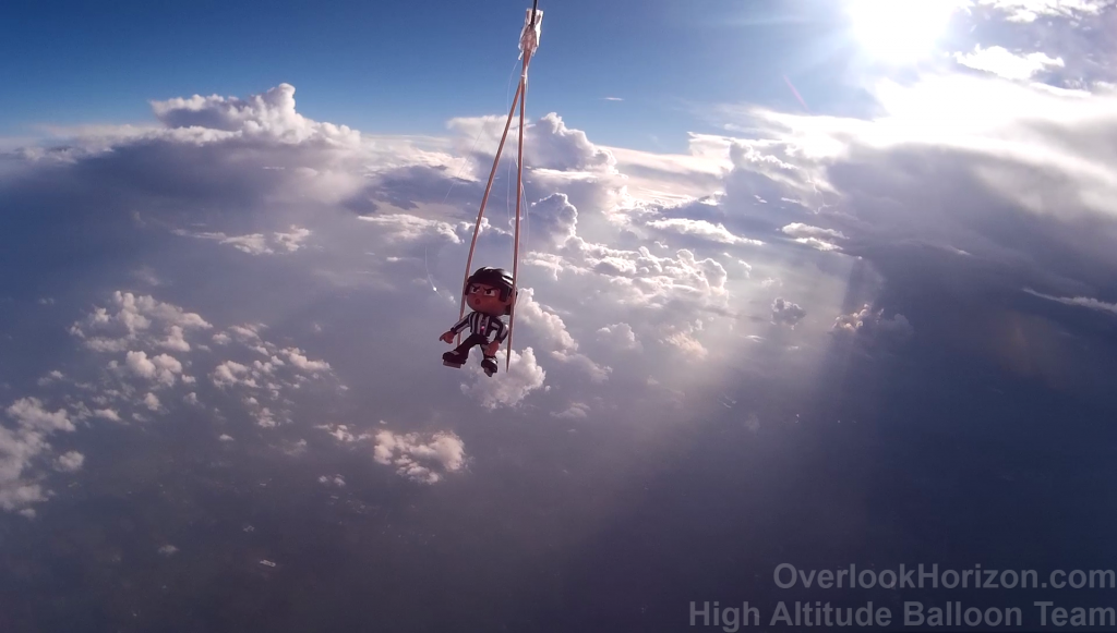
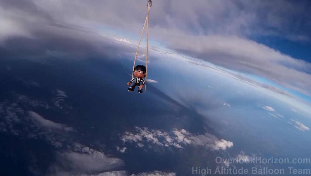
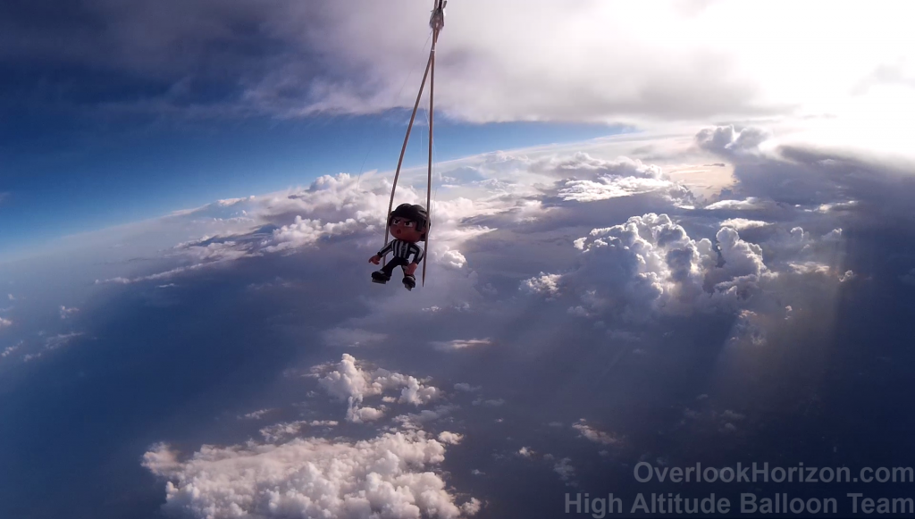
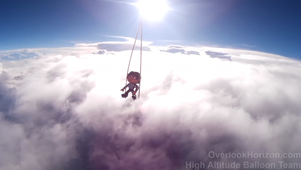
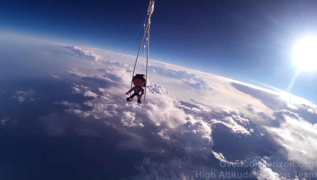
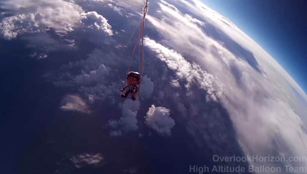
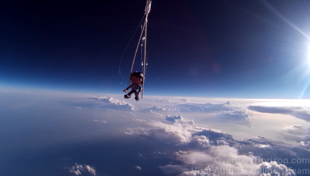

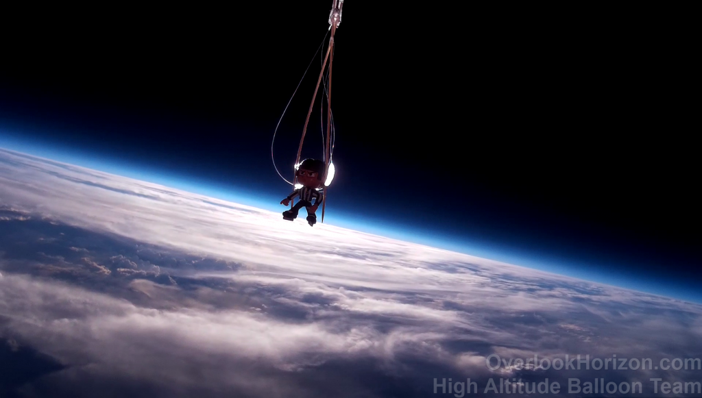
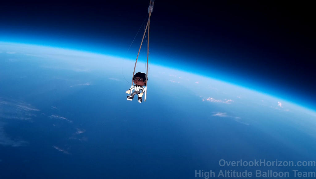


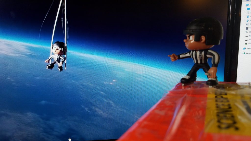
Astronaut
The first Overlook Horizon astronaut, “Butchy”.
Initial Fight Prediction